Simulation and modeling
A new E-Test network of head-mounted displays (HMDs), comprising tools embedded in the VR/XR environment that allow quantitative measurements mimicking traditional field experiences, and that support tele-conferencing, scientists, engineers and stakeholders together will be able to visit (e.g., as avatars) and interact with hazard models. Source:
Havenith et al., Cascading Geohazard Models & Risk Awareness Raising in joint XR-environments. Cost Action proposal 2021.
Below – adapted to E-TEST.
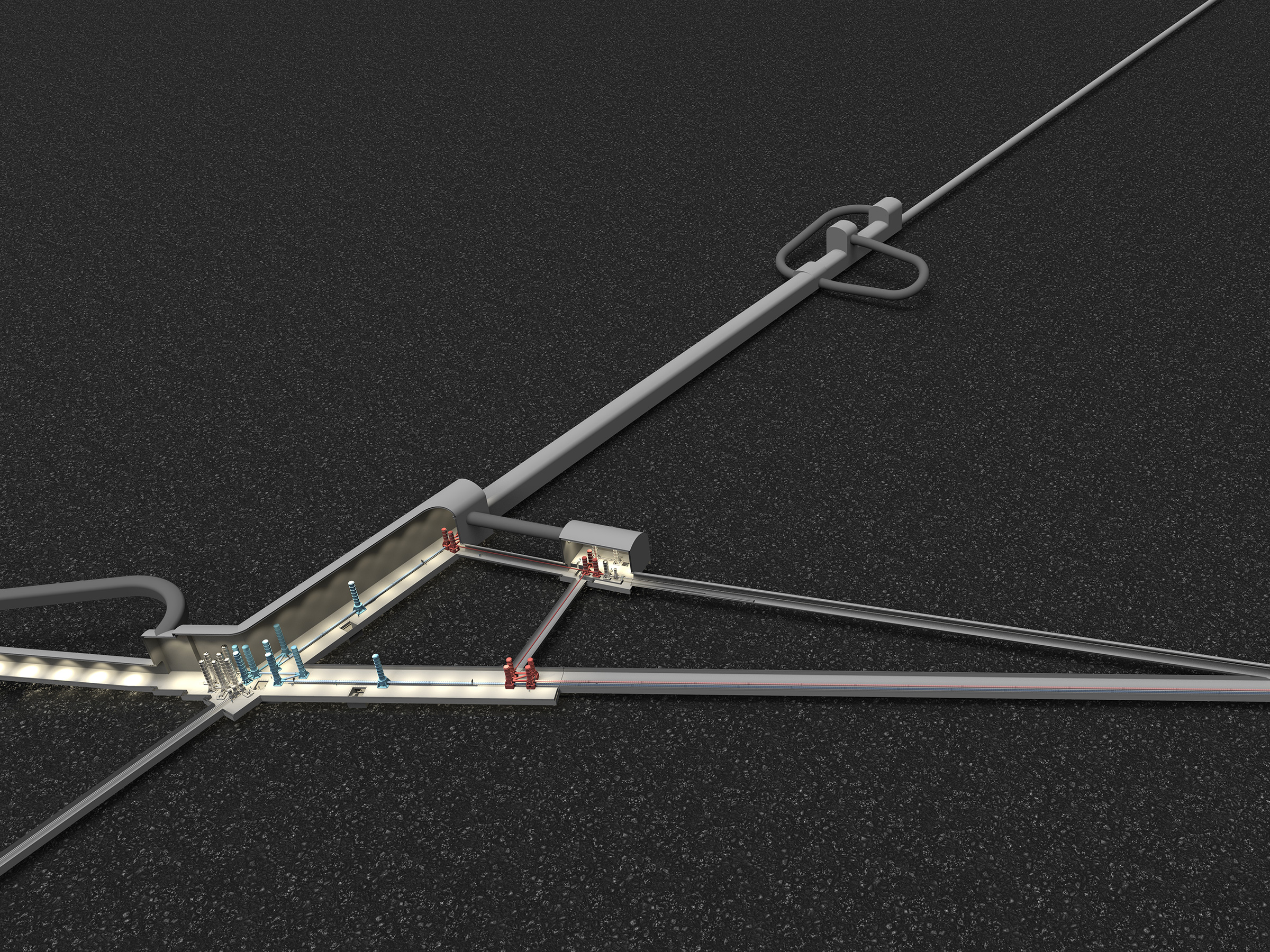
The development of numerical modeling softwares and virtual/augmented reality technology have led to an improved computation and visualization of processes, such as ground motions, which are inherently difficult to observe since they occur and interact with infrastructures in the near-surface. The development of BIM (Building Information Modeling) in civil engineering has been booming in the past years and led to improved monitoring of construction phases, safety inspection and allowing to update in real-time the impact on the overall project of unforeseen events.
Key challenges in a nutshell
- modeling of ground motions for the ET
- development of virtual environments for the subsurface
- integration of building information models with geomodels