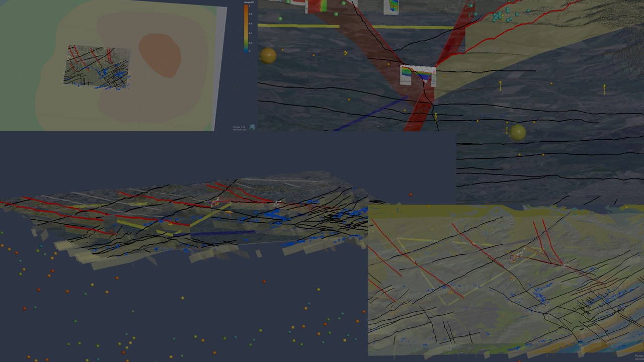
Traditionally used and developed in the energy or the raw materials sectors, there has been an increase of the use of geophysical methods for the civil engineering sector thanks to the development of hardware and software allowing for a more accurate imaging of the near-surface (0 to a few hundreds of meters). Together with advances in satellite imaging, they allow to cover a broad range of physical properties at the surface and in the near-surface to provide more detailed conditions to design future constructions and complement traditional invasive drilling exploration.
More information on ET-relevant technologies:


